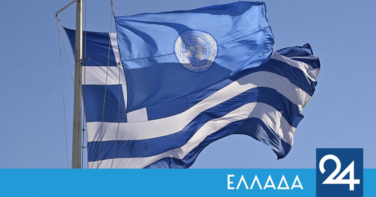
The Permanent Representative of Greece to the United Nations, Aglaia Balta, signs a letter from Greece in response to a letter from Turkey regarding Greece’s sovereign rights in the Aegean Sea:
Following the letter dated 16 February 2026 from the Permanent Representative of Turkey to the United Nations to the Secretary-General, I have the honour to communicate the following:
Greece has repeatedly rejected Turkey’s unfounded and illegal claims regarding the outer limits of its maritime zones in the Aegean and Eastern Mediterranean, as well as any relevant coordinates and maps, which are devoid of legal consequences. In this context, I recall, inter alia, our letters of 23 May 2016, 8 December 2016, 10 May 2017, 25 April 2019, 19 February 2020, 19 March 2020, 20 April 2020 and 29 September 2020, as well as our declarations of 24 February 2005, 20 February 2013 and 2 September 2020. Our positions have also been communicated bilaterally to Turkey.
These claims completely ignore Greece’s sovereign rights and the rights of its islands in maritime zones in both the Aegean and the Eastern Mediterranean. More specifically, all islands, regardless of size, enjoy: first, territorial sea rights up to 12 nautical miles; and second, with the exception of “rocks that cannot sustain human habitation or economic life independently”, exclusive economic zone and continental shelf rights in the same way as any other land territory. This rule is clearly set out in Article 121 of the United Nations Convention on the Law of the Sea, which reflects customary international law and therefore also binds States that are not parties to it. Turkey’s claims that the Greek islands do not produce maritime zones beyond the existing 6 nautical miles of territorial sea constitute a flagrant violation of the above principle and infringe the integrity and sovereignty of Greece. In this context, it is recalled that Turkey has since 1995 explicitly declared a threat of war against Greece if Greece extends its territorial sea beyond 6 nautical miles. Nevertheless, Greece reserves and hereby reserves its right, in accordance with international law, to extend the territorial sea of all its islands to 12 nautical miles.
According to Greece’s long-standing position, as reflected in its national legislation, the delimitation of the continental shelf or exclusive economic zone between states with adjacent or contiguous coasts (continental and island) must be carried out in accordance with the applicable rules of international law, based on the principle of equidistance/central line. Indeed, contemporary jurisprudence of international courts and tribunals on the delimitation of maritime zones confirms the centrality of the line of equidistance in delimitation in the application of articles 15, 74 and 83 of the Convention, which are part of customary international law.
In addition to the above, Turkey selectively invokes the “principle of equity”, which has long been weakened in delimitation jurisprudence in favour of the well-established methodology based on equidistance. Turkey also insists on a selective, misleading and erroneous interpretation of modern international jurisprudence on maritime delimitation, attempting to promote a flawed methodology that will reshape geography in both the Aegean and the Eastern Mediterranean.
As for the invalid “agreement” concluded between Turkey and the illegal breakaway entity in the northern part of Cyprus referred to in the letter, it is recalled that this document is in flagrant violation of Security Council resolutions 541 (1983) and 550 (1984). The same applies to Turkey’s arbitrary claims in relation to the Republic of Cyprus, which enjoys all the rights granted to it under international law throughout the territory of the island of Cyprus, as well as in the sea adjacent to its shores.
As regards the invalid “Memorandum of Understanding between the Government of the Republic of Turkey and the Government of National Accord – State of Libya on the Delimitation of Maritime Jurisdictions in the Mediterranean” of 27 November 2019, Greece rejects the claim that it has been concluded in accordance with international law and that it is valid and in force. Turkey and Libya do not share a common maritime border due to the existence of several Greek islands between them, including Crete and the Dodecanese islands. The 2019 Memorandum ignores the maritime rights of the Greek islands and therefore attempts to reconfigure the geography to Turkey’s advantage in the Eastern Mediterranean. The 2019 MoU produces no legal consequences and creates no impact whatsoever, neither for the alleged parties, nor for Greece or any other state. In this regard, I refer to our letters of 9 December 2019, 19 March 2020 (A/74/758), 20 April 2020, 1 June 2020, 29 September 2020, 17 November 2022, 24 April 2023 and 17 January 2024, as well as to our declarations of 2 September 2020, 5 August 2025 and 3 September 2025.
The letter also refers to the Memorandum of Understanding between the Government of the Republic of Turkey and the Government of National Unity – State of Libya on cooperation in the hydrocarbons sector, signed on 3 October 2022. It is recalled that my country opposes the conclusion of this MoU to the extent that it attempts any direct or indirect implementation of the 2019 MoU and has already stressed that any action to implement the 2022 MoU that affects its sovereign rights constitutes a violation of international law. On the issue of the 2022 Memorandum, I refer to our letter of 17 November 2022.
Greece also rejects Turkey’s unfounded allegations against the Agreement between the Government of the Hellenic Republic and the Government of the Arab Republic of Egypt on the delimitation of the exclusive economic zones between the two countries, signed in Cairo on 6 August 2020. This Agreement has been concluded between States with subject coasts and overlapping maritime rights, in full compliance with the relevant provisions of the Convention, as already noted in our express notice of 2 September 2020, as well as in our letters of 29 September 2020 and 3 September 2025.
On the issue of maritime spatial planning, by Ministerial Decision No. 43090/574 of the Minister and Deputy Minister of Environment and Energy of the Hellenic Republic, dated 17 April 2025, Greece has designated four maritime spatial units in the maritime areas where it exercises sovereignty, sovereign rights or jurisdiction. This designation was made with a view to establishing marine spatial plans in fulfilment of Greece’s obligations under Directive 2014/89/EU of the European Parliament and of the Council of 23 July 2014. The outer boundaries of these marine spatial units have been established in accordance with the applicable national legislation and in full compliance with the Convention, as well as with the delimitation agreements in force between Greece and its neighbouring countries.
In particular, with regard to the areas of the Greek continental shelf and the exclusive economic zone (when declared) where no delimitation agreement yet exists, the relevant maritime spatial planning boundaries are determined by the median line, as described in Article 2(1) of Law 2289/1995, as amended by Article 156(1) of Law 4001/2011.
In this context, let me stress that, from the map memorandum accompanying the aforementioned Ministerial Decision, it is clear that the median line temporarily determines the outer limits of the Greek continental shelf “pending the conclusion of delimitation agreements with neighbouring states whose coasts are subject to or adjacent to Greece”.
Greece rejects Turkey’s claim that some of Greece’s maritime spatial units violate its maritime jurisdictional zones, as these units have been established in full compliance with international law and are in line with the practice of states in undemarcated maritime areas.
On the contrary, the map entitled “Marine spatial planning map Türkiye”, as well as the information entitled “Basic facts on marine waters” posted by Turkey on the Maritime Spatial Planning Global (MSPglobal) platform, provocatively ignore Greece’s sovereignty over “numerous small islands, islets and rocky islets in the Aegean Sea”, despite the fact that this sovereignty has been clearly and definitively established by relevant international treaties. In particular: the alleged outer limits of the Turkish continental shelf in the Aegean and Eastern Mediterranean, as depicted on the map, completely ignore the maritime rights of many Greek islands; the decisions to grant licensing areas to the Turkish Petroleum Company (TPAO), as well as the decision to declare a ‘special environmental protection area’ (all these areas are depicted on the Turkish maritime spatial planning map) are invalid to the extent that they affect areas of Greek maritime jurisdiction; and, similarly, the recent declaration of the “Fethiye-Kaş Marine Protected Areas” and “North Aegean Sea”, which were unilaterally designated by Turkey as offshore areas, are invalid, as no state is allowed to designate marine protected areas beyond its national jurisdiction. They are also, in any case, invalid to the extent that they overlap the Greek continental shelf. All the issues raised by the Turkish maritime spatial planning map, data and accompanying information have already been communicated in detail to Turkey at the bilateral level, through our embassy in Ankara’s verbal communication No. 1953 of 17 October 2025.
Greece reserves all its rights and wishes to reiterate its firm commitment to resolving the delimitation of the continental shelf/exclusive economic zone with Turkey in the Aegean and Eastern Mediterranean by peaceful means, in good faith and in accordance with international law.
I would be grateful if this letter could be circulated as a document of the General Assembly under agenda item 75 and published on the website of the Directorate for Ocean Affairs and the Law of the Sea, as well as in the next edition of the Law of the Sea Bulletin.